Designing a Resilient MPA in Kimbe Bay, Papua New Guinea
Location
Kimbe Bay, West New Britian, Papua New Guinea
The challenge
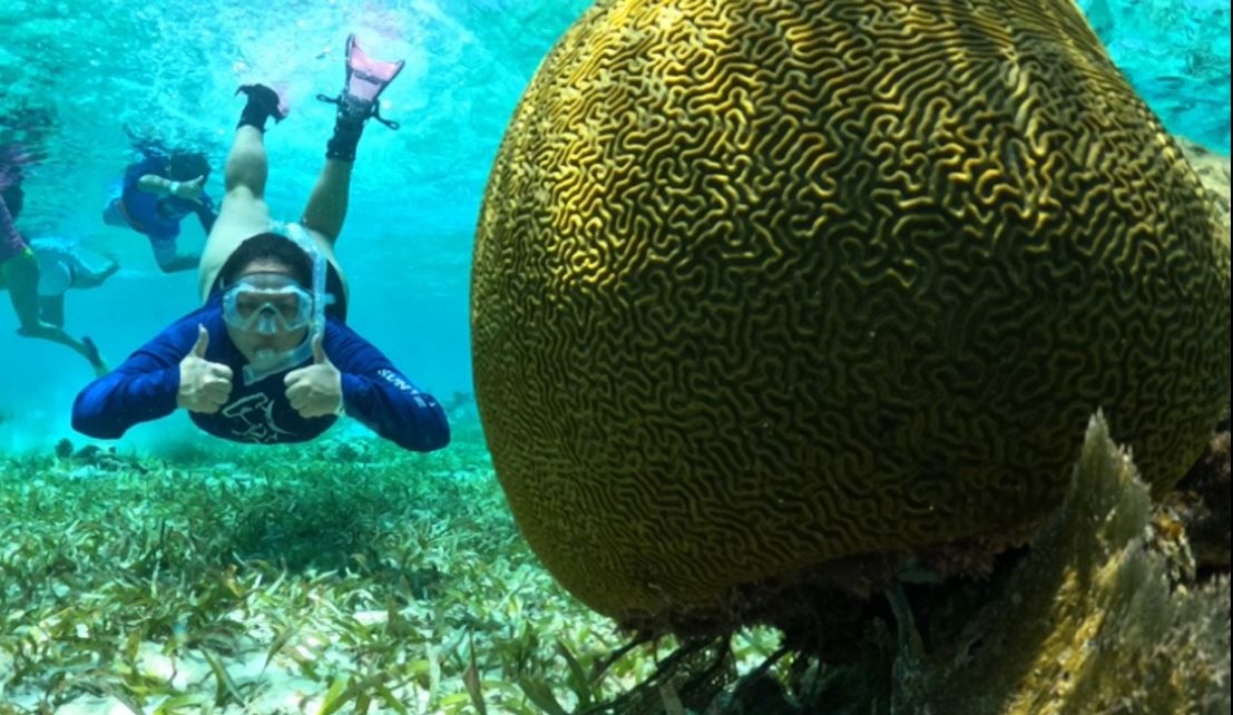
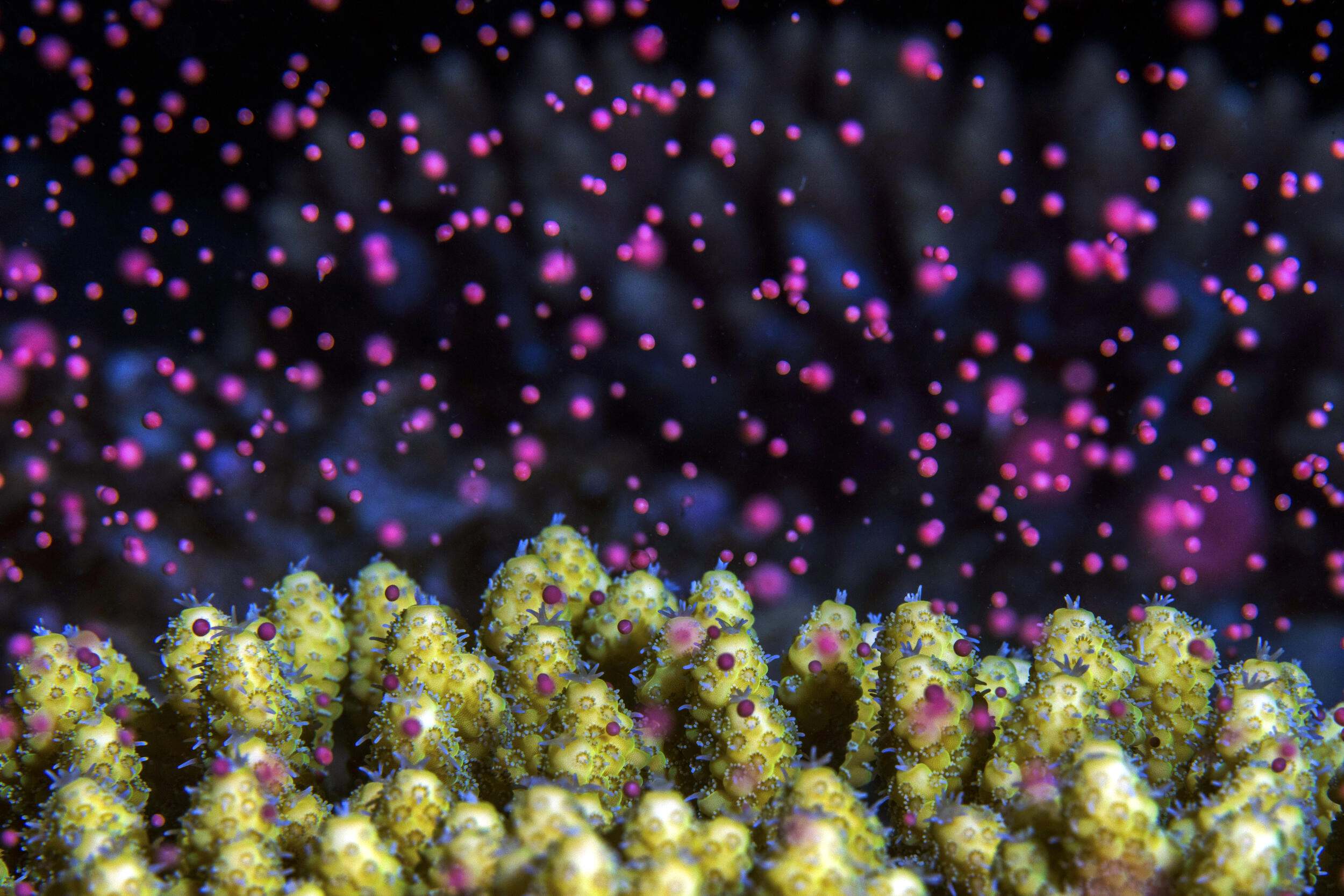
Kimbe Bay is a large, well-defined bay (140 km x 70 km in area) comprised of one of the world’s most diverse tropical marine environments, including shallow (coral reefs, mangroves, and seagrasses) and deepwater marine habitats (oceanic waters and seamounts) in close proximity. These diverse habitats are part of the global center of marine biodiversity, the Coral Triangle, and are home to at least twelve species of marine mammals and other rare and threatened species. Additionally, Kimbe Bay’s inclusion of both shallow and deepwater habitats within close proximity to each other provides an ideal opportunity to protect a range of marine environments. Like many coastal areas throughout the world, Kimbe Bay’s rich marine biodiversity is at risk from local threats such as overfishing, sedimentation, pollution, and increasing human populations. Additionally, global threats such as rising sea temperatures associated with climate change have already led to coral bleaching in the bay. Sea levels are also rising, threatening critical coastal habitats such as mangroves and turtle nesting areas.
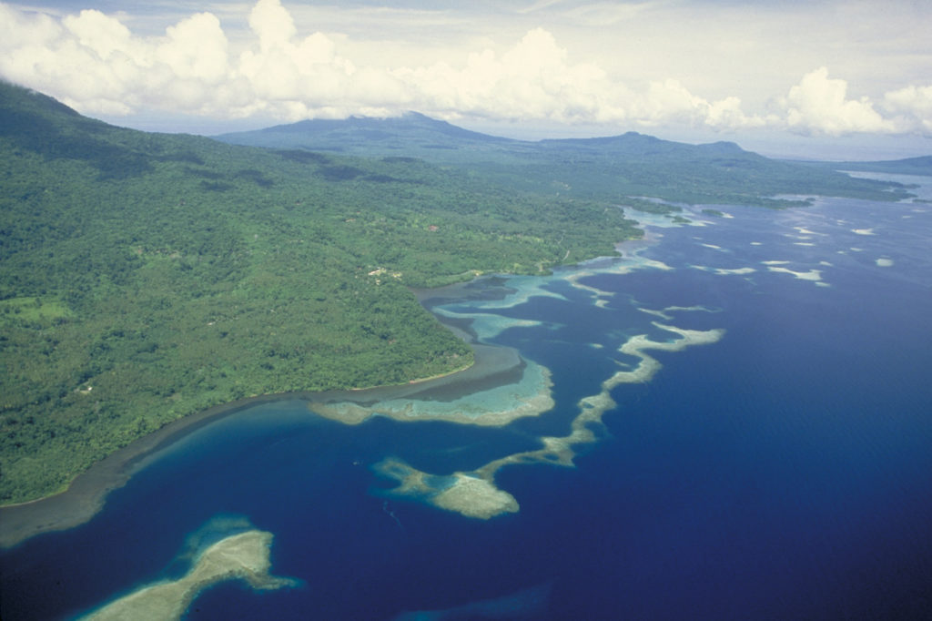
Kimbe Bay is one of the first to build resilience principles into MPA network design. Photo © The Nature Conservancy
Actions taken
To address these challenges, TNC undertook the design of a Marine Protected Area (MPA) network based on resilience principles. The objectives of the Kimbe Bay MPA network are twofold: to conserve marine biodiversity and natural resources of the bay in perpetuity, and to address local marine resource management needs. The scientific design of the Kimbe Bay MPA network represents one of the world’s first MPA networks to specifically address the threat of climate change, and does so by incorporating the principles of resilience, including:
- Spreading the risk through representation and replication of major habitats
- Protecting special and unique sites and critical habitat (e.g. fish spawning sites, turtle nesting areas, nursery areas)
- Incorporating biological patterns of connectivity
- Effective management
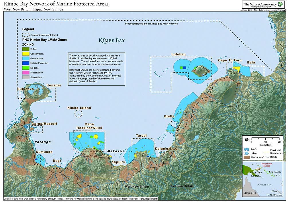
Kimbe Bay Network of Marine Protected Areas.
Steps in planning process for the design of a network of marine protected areas to be resilient to the threat of climate change included:
- Designing objectives, conservation targets, boundaries, and design principles
- TNC staff, partners, scientists, and representatives of local industries and government agencies defined objectives, conservation targets, and boundaries at a workshop held in 2004
- Design principles were based on biophysical and socioeconomic characteristics of Kimbe Bay and were based on principles developed by the Great Barrier Reef Marine Park
- Identifying and conducting high priority research
- Network design principles were used to identify research required to provide a scientific basis for the design
- Biological surveys, a hydrodynamic study, and socioeconomic surveys were conducted over the next two years (2004-2006)
- Data processing
- Geographic information system (GIS) layers were produced and analyzed
- Primary data layers included conservation targets and socioeconomic information
- A workshop was held to review and refine data layers
- Data analysis to identify priority areas
- Marine reserve design software, MARXAN, was used to analyze data and resulted in the scientific design of a resilience MPA network which further required input from local communities (mid 2006)
- Community engagement
- Communities were engaged in the process through informal meetings with community members and a socioeconomic study
- Results were discussed with representatives from all levels of government (local, provincial, and national), businesses, local communities, and resource owners several consultations between 2004-2006
- Broad support was indicated for the establishment of a marine protected area network
- Implementation
- The primary strategy was helping communities manage their marine resources through locally managed marine areas (LMMAs)
-
- This process involved six steps:
-
- Community engagement
- Community visioning
- Participatory conservation planning
- Community development of a locally managed marine area plan
- Preparation of a draft plan and agreement
- Stakeholder consultation and finalization of the plan and agreement by the community
-
- This process involved six steps:
How successful has it been?
Successes to date include:
- Communities in ten areas are implementing management plans and have increased their no-take zones. These communities are sustainably managing their resources to benefit their livelihoods.
- Mangrove, seagrass, and coral reef habitat health has improved.
- Benefits of the LMMAs have come largely from raising awareness about destructive fishing practices and overfishing by outsiders.
- In 2013, the West New Britain Provincial Government took over leadership and management of the Kimbe Bay Marine Management Area.
Lessons learned and recommendations
- It is important to take implementation into account when designing the MPA network, and to identify effective strategies for engaging stakeholders in the process.
- Marine reserve software (MARXAN) is an excellent tool for processing large amounts of information for MPA network design; but it is important to remember that it is a decision support tool and not a decision maker.
- The minimum amount of information required to complete a scientific design of an MPA network is the location of conservation targets, threats and opportunities.
- A multidisciplinary team is required, including scientific experts, a GIS specialist, local managers, and representatives who can contribute local knowledge, and who have a clear understanding of the culture, needs, and interests of local communities and other stakeholders.
- The costs were relatively low compared to costs expected for developed countries; however, it takes a minimum of five to seven years for design and implementation.
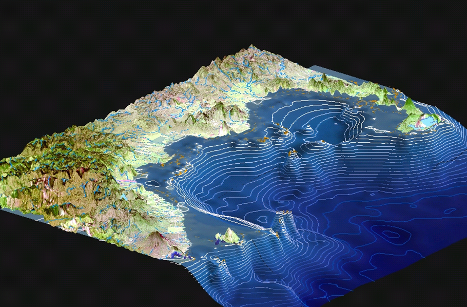
Kimbe Bay is characterized by dramatic bathymetry: coastal shelf to 200m, most deep areas 600 to >2000m. Photo © The Nature Conservancy
For more information on the details of this process, specifically the ways in which resilience principles were incorporated, see the complete report referenced below.
Funding summary
Asian Development Bank Global Environment Facility
The Nature Conservancy
David and Lucile Packard Foundation
U.S. Agency for International Development Global Conservation Program
Bismarck Packard BMU (German Government)
Marisla Foundation
Private donors
Lead organizations
The Nature Conservancy Kimbe Bay Project Office
The Nature Conservancy Indo-Pacific Resource Center
Partners
PNG National Government
The West New Britain provincial government
Talasea Local Level Government
Hoskins Local Level Government
Bialla Local Level Government
Mahonia Na Dari Local Communities of Kimbe Bay
U.S. Agency for International Development